
Resources
Engineering Resources & Insights
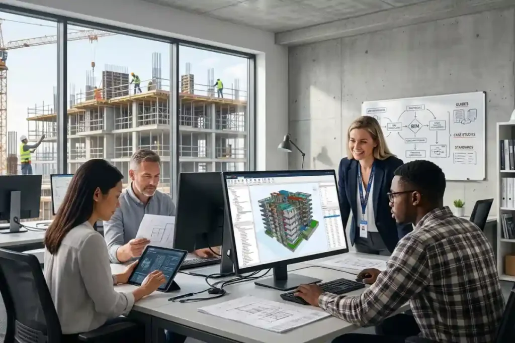
From The Blog
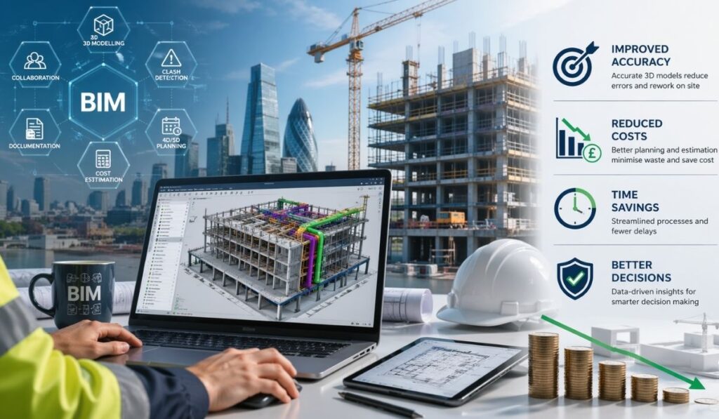
BIM Services are transforming the UK construction industry by improving project accuracy, enhancing collaboration, and reducing overall construction costs. As
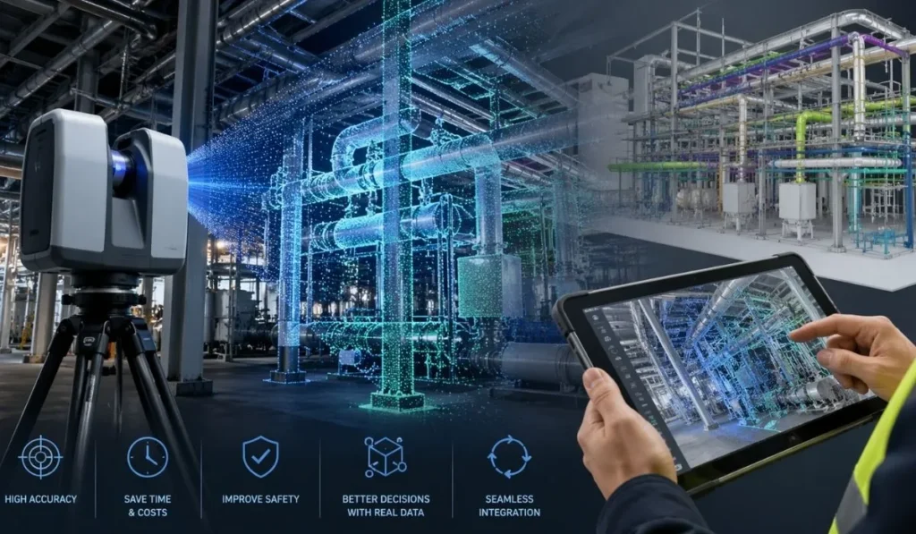
Modern engineering projects demand greater accuracy, faster delivery, and improved collaboration than ever before. As construction, infrastructure, and industrial developments
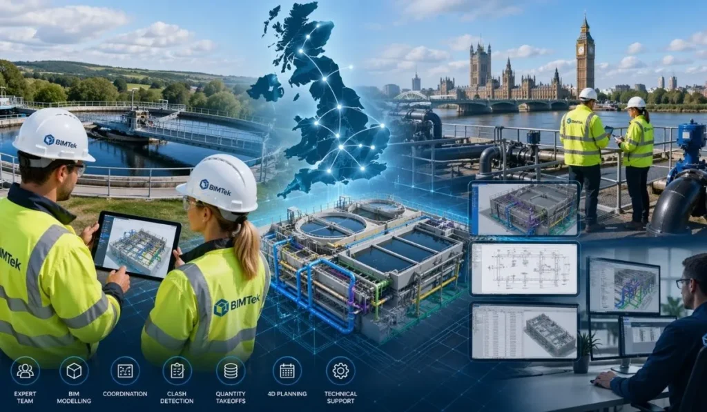
Across the UK, water and utility providers are facing increasing pressure to modernise aging infrastructure, improve operational efficiency, and meet
FAQs
Drone surveying provides a safe, fast, and cost-effective method for collecting data from difficult-to-access areas and large open spaces. BIMTek uses drones equipped with high-resolution cameras, LiDAR scanners, and thermal imaging technology to perform aerial surveys and inspections. Drone surveys reduce the need for manual access equipment, minimise safety risks, and speed up project timelines. The captured data can be used for photogrammetry, mapping, 3D modelling, inspections, and progress monitoring. Drone technology also improves accuracy while reducing operational disruption. This makes it an ideal solution for construction sites, industrial plants, infrastructure projects, and large-scale land surveys.
BIMTek supports a wide range of industries including manufacturing, industrial processing, construction, utilities, infrastructure, energy, and commercial development sectors. Their BIM, surveying, and digital engineering services are particularly valuable for projects requiring accurate as-built data, complex coordination, and advanced visualisation. Industrial facilities, plants, warehouses, and infrastructure projects benefit from precise 3D modelling, laser scanning, and drone surveying solutions. BIMTek’s technology-driven approach improves efficiency, safety, and project planning across both new-build and refurbishment projects. By delivering accurate digital information and collaborative workflows, BIMTek helps organisations make smarter decisions throughout design, construction, and operational phases.
A 3D point cloud is a digital representation of a physical environment created from millions of measured points captured during a laser scan or photogrammetry survey. Each point contains precise spatial coordinates that collectively form an accurate 3D model of the surveyed area. Point clouds are essential for BIM modelling, engineering design, clash detection, renovation planning, and asset management. They allow project teams to analyse existing conditions with a high level of detail and accuracy before construction or maintenance begins. By using point cloud data, businesses can improve project coordination, reduce costly errors, and streamline the overall design and construction workflow.
Electrical design services are essential across many industries, including commercial buildings, manufacturing facilities, healthcare, education, infrastructure, energy, and industrial plants. Each sector requires customised electrical solutions to meet operational demands, safety standards, and regulatory requirements. BIMTek provides electrical design support for complex projects where precision, coordination, and efficiency are critical. Advanced 3D modelling and BIM integration help ensure accurate system layouts and improved project execution. Whether for new construction, refurbishment, or system upgrades, professional electrical design services help organisations achieve reliable power distribution, operational safety, and efficient building performance.
Drone surveying has become an efficient and cost-effective solution for capturing aerial data across large or hard-to-reach areas. Modern drones equipped with high-resolution cameras, LiDAR scanners, and thermal imaging sensors can quickly collect accurate site information from above. Drone surveys are commonly used for topographical mapping, inspections, construction monitoring, photogrammetry, and infrastructure analysis. They significantly reduce the risks associated with working at height while improving project efficiency. The captured aerial data can be converted into 3D point clouds, orthomosaic maps, and digital terrain models. Drone technology enables faster site assessments and provides valuable visual insights for planning and decision-making.
BIMTek provides comprehensive civil design services tailored to infrastructure, industrial, and construction projects. Our services include site layout design, drainage systems, road and pavement design, utility coordination, grading plans, and 3D civil modelling. Using advanced BIM technology and industry-leading software, we create accurate, data-driven designs that improve project efficiency and reduce costly errors during construction. Our experienced team works closely with clients, engineers, and contractors to ensure every civil engineering solution meets project requirements, safety standards, and regulatory compliance while supporting sustainable and efficient development from concept through completion.