INNOVATIVE SURVEYING, DESIGN & BIM SOLUTIONS

Transforming ideas into intelligent, future-ready solutions through innovation, technology, and strategic execution. Explore our comprehensive services designed to help businesses scale smarter, optimize operations, and achieve sustainable growth in the digital era.

Team BIM-Tek

Lorem Ipsum Dolor Sit Amet

In design and publishing, using “Greeked” text like Lorem Ipsum allows viewers to focus on the visual aspects—such as typography, spacing, and layout—without being distracted by the actual content of the writing.

about Bimtek

Engineering the Future About BIMTek

BIMTek Limited is an established engineering practice in the South West, offering professional survey and design services primarily in the water, wastewater and construction sectors.
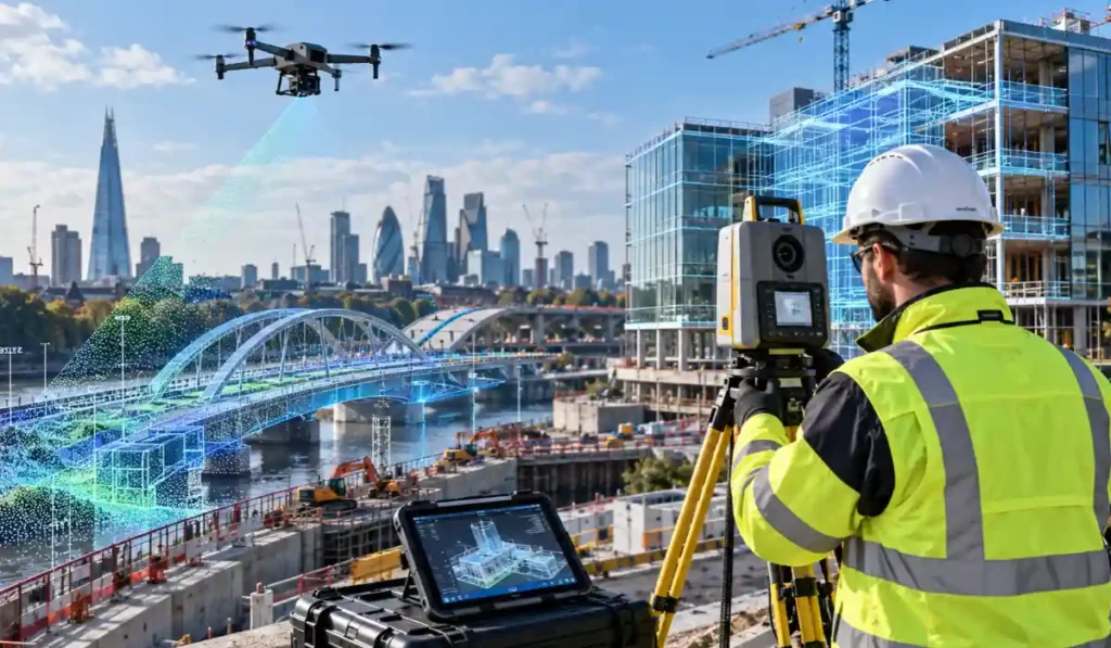
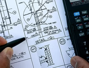
We offer a wide range of services; from full site surveys using our in-house 3D scanner and drone, to preparation of construction documentation during detail design, including design for offsite manufacture.

Building trust, delivering quality

We are building and changing for the future, not just within the company but in the services we offer. New technology and construction techniques are constantly changing the world of construction. Using the latest software allows us to offer a more cost effective and sustainable solution in today’s complex engineering problems.

Comprehensive BIM Engineering Design & Surveying Solutions

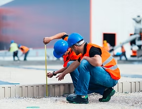
surving

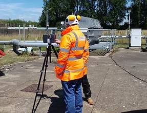
LiDAR (3D) Scanning, Drone Scanning, Topographic Survey, Non-intrusive Surveying

01.
bim

BIM

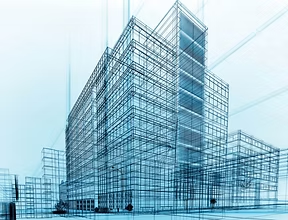
3D Modelling, Virtual & Augmented Reality, Asset Identificaiton & Tagging, COBie, IFC

02.
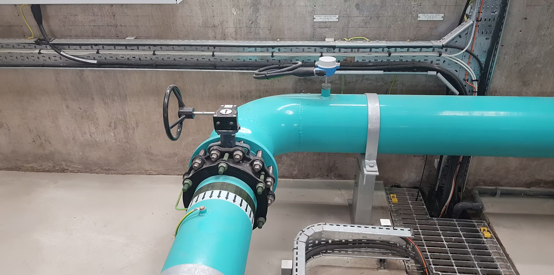
mechanical design

Pumping Systems, Hydraulics Analysis, Mechanical Equipment Design, Life Cycle Cost (LCC) analysis

03.
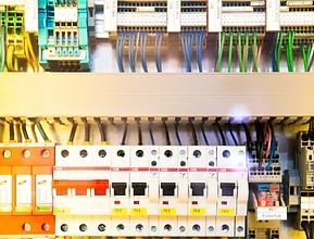
electrical design

Power Distribution Calculations Instrument, Cable and I/O scheduling, Lighting Design, Renewable Energy Design

04.
civil design

Base Slab Design, Concrete Tanks, Retaining Walls, Structural Condition Survey & Reports

05.
other services

BIMTek also provide a range of other services such as ‘Record / As Build’ drawing production and Optioneering.

06.
Year Established
0
Projects Completed
0 +
Team Members
0 +

See Our Work in Action

Discover how BIMTek transforms real-world data into accurate, buildable solutions using advanced BIM and digital engineering.

1. Discover and Plan

We start by understanding your project goals, constraints, and site conditions. Working closely with stakeholders, we define a clear scope and strategy to ensure efficient and risk-aware project delivery.

2. Capture & Analyse

Using advanced 3D laser scanning and surveying, we collect highly accurate site data. This forms a reliable digital foundation for modelling, design, and decision-making.

3. Model & Design

We develop detailed BIM models and engineering designs, enabling precise visualisation and coordination. Early clash detection and collaborative workflows help minimise errors before construction begins.

4. Deliver & Support

From documentation to project execution, we support you through every stage. Our team ensures smooth delivery, improved efficiency, and dependable results from start to finish.

Recent Projects

Designers use it as a placeholder to demonstrate the visual form of a document or typeface without the distraction of meaningful content.

FAQ's

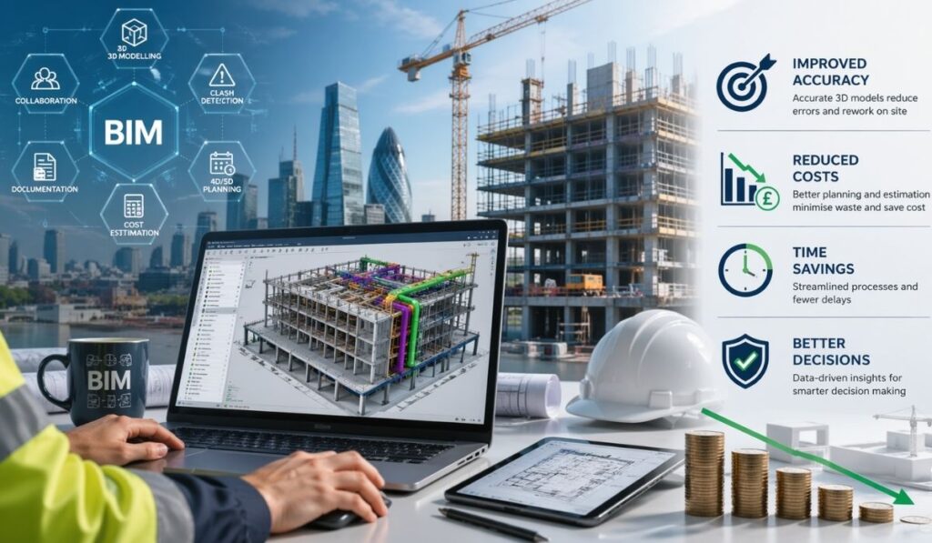
Building Information Modelling (BIM) significantly improves mechanical design projects by creating intelligent 3D models that enhance collaboration, accuracy, and project efficiency. BIM allows engineers, architects, and contractors to work within a coordinated digital environment, reducing clashes between mechanical, structural, and electrical systems. This approach improves visualization, simplifies modifications, and speeds up drawing production. BIM also supports accurate quantity take-offs, maintenance planning, and lifecycle management. By using BIM software such as Autodesk REVIT, mechanical design teams can streamline workflows, reduce project risks, and deliver better outcomes for both small and large-scale engineering projects across multiple industries.

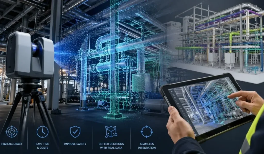
3D laser scanning surveying is an advanced data capture method that uses LiDAR technology to collect highly accurate measurements of buildings, structures, machinery, and environments. The laser scanner rapidly captures millions of data points to create a detailed 3D point cloud model. This process allows surveyors and engineers to analyse spaces with exceptional precision while reducing time spent on site. Unlike traditional surveying methods, laser scanning is non-contact and minimally intrusive, making it ideal for operational facilities, confined spaces, and complex industrial environments. The collected data can then be used for BIM modelling, engineering design, clash detection, and project planning.

BIMTek primarily uses Autodesk REVIT for Building Information Modelling and 3D design development. The company also utilises Autodesk Inventor for highly detailed engineering components and mechanical modelling. These advanced software platforms allow BIMTek to create accurate, intelligent, and data-rich models for construction and industrial applications. Additionally, BIMTek uses Enscape™ to produce realistic animations, interactive walkthroughs, and virtual reality experiences. By combining industry-leading software with technical expertise, BIMTek delivers precise digital engineering solutions that improve project coordination, visualisation, and stakeholder communication throughout the design and construction process.

Drone surveying provides a safe, efficient, and cost-effective method for capturing high-quality aerial data from difficult-to-access areas. BIMTek uses drone technology for aerial inspections, photogrammetry, mapping, thermal imaging, and 3D point cloud generation. Drone surveys can significantly reduce the need for scaffolding, manual inspections, and lengthy site access procedures. High-resolution aerial imagery and LiDAR scanning allow teams to assess conditions quickly while improving overall project safety. Drone-generated data also supports BIM workflows, planning, and progress monitoring. This modern surveying solution is ideal for large industrial sites, infrastructure projects, roof inspections, and construction monitoring activities.

Drone surveying has become an efficient and cost-effective solution for capturing aerial data across large or hard-to-reach areas. Modern drones equipped with high-resolution cameras, LiDAR scanners, and thermal imaging sensors can quickly collect accurate site information from above. Drone surveys are commonly used for topographical mapping, inspections, construction monitoring, photogrammetry, and infrastructure analysis. They significantly reduce the risks associated with working at height while improving project efficiency. The captured aerial data can be converted into 3D point clouds, orthomosaic maps, and digital terrain models. Drone technology enables faster site assessments and provides valuable visual insights for planning and decision-making.

BIMTek provides a wide range of digital engineering, BIM modelling, laser scanning, drone surveying, and 3D visualisation services for construction and industrial projects. The company specialises in Building Information Modelling (BIM), LiDAR surveys, 3D point cloud generation, photogrammetry, and engineering coordination. BIMTek also delivers immersive virtual reality walkthroughs and detailed digital models using advanced software such as Autodesk REVIT and Autodesk Inventor. These services help clients improve project planning, reduce costly errors, increase collaboration, and enhance operational efficiency. BIMTek supports projects across multiple sectors by delivering accurate, data-driven solutions tailored to complex engineering and construction requirements.

Our Blogs

Its primary benefit is a relatively normal distribution of letters, making it look like readable English compared to simply repeating "Content here, content here."

How BIM Services Improve Construction Accuracy and Reduce Project Costs in the UK

BIM Services are transforming the UK construction industry by improving project accuracy, enhancing collaboration, and reducing overall construction costs. As

Why 3D Laser Scanning Is Essential for Modern Engineering Projects

Modern engineering projects demand greater accuracy, faster delivery, and improved collaboration than ever before. As construction, infrastructure, and industrial developments

How BIMTek Supports Water and Wastewater Engineering Projects Across the UK

Across the UK, water and utility providers are facing increasing pressure to modernise aging infrastructure, improve operational efficiency, and meet

What Our Clients Are Saying

Real reviews from clients who trusted us to transform their spaces with care, balance, and timeless design.

General Enquiry

Build Smarter with BIMTek

Unlock the full potential of digital engineering with BIMTek Limited. By combining advanced 3D laser scanning, intelligent BIM modelling, and practical engineering expertise, we provide a connected approach that improves coordination across every stage of your project. Our workflows are designed to enhance visibility, minimise uncertainty, and help teams make informed decisions with confidence.

Whether you’re delivering complex infrastructure or tackling detailed design challenges, we focus on turning accurate data into clear, buildable solutions. From reducing costly errors to accelerating timelines, our team supports you with reliable insights and efficient processes—ensuring your project runs smoothly from initial concept through to final delivery.

INNOVATIVE SURVEYING, DESIGN & BIM SOLUTIONS

BIM Engineering Design & Surveying Solutions

BIMTek Limited is an established engineering practice in the South West, offering professional survey and design services primarily in the water, wastewater and construction sectors. We offer a wide range of services; from full site surveys using our in-house 3D scanner and drone, to preparation of construction documentation during detail design, including design for offsite manufacture.

LiDAR (3D) Scanning, Drone Scanning, Topographic Survey, Non-intrusive Surveying

BIM

3D Modelling, Virtual & Augmented Reality, Asset Identificaiton & Tagging, COBie, IFC

Pumping Systems, Hydraulics Analysis, Mechanical Equipment Design, Life Cycle Cost (LCC) analysis

Power Distribution Calculations Instrument, Cable & I/O scheduling, Lighting Design, Renewable Energy Design

Base Slab Design, Concrete Tanks, Retaining Walls, Structural Condition Survey & Reports

A range of other services such as ‘Record / As Build’ drawing production and Optioneering.

Recent Projects

Send your requirement by filling the form below, BimTek team will get back with 24 hours