
Resources
Engineering Resources & Insights
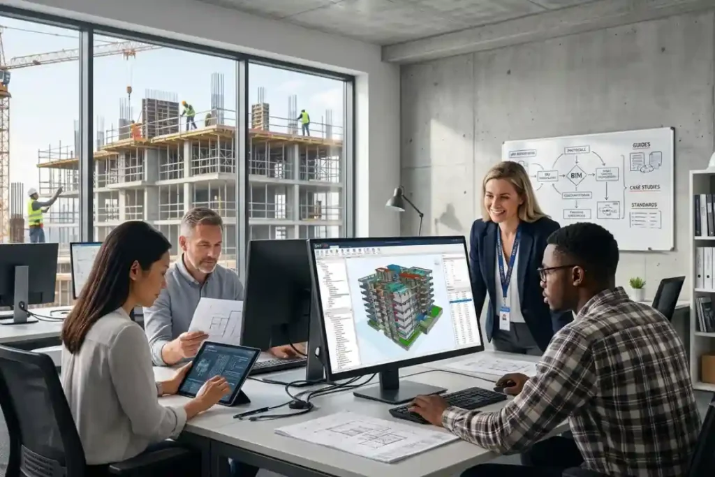
From The Blog
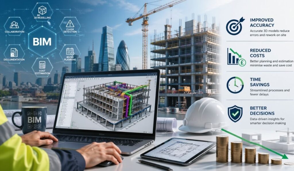
BIM Services are transforming the UK construction industry by improving project accuracy, enhancing collaboration, and reducing overall construction costs. As
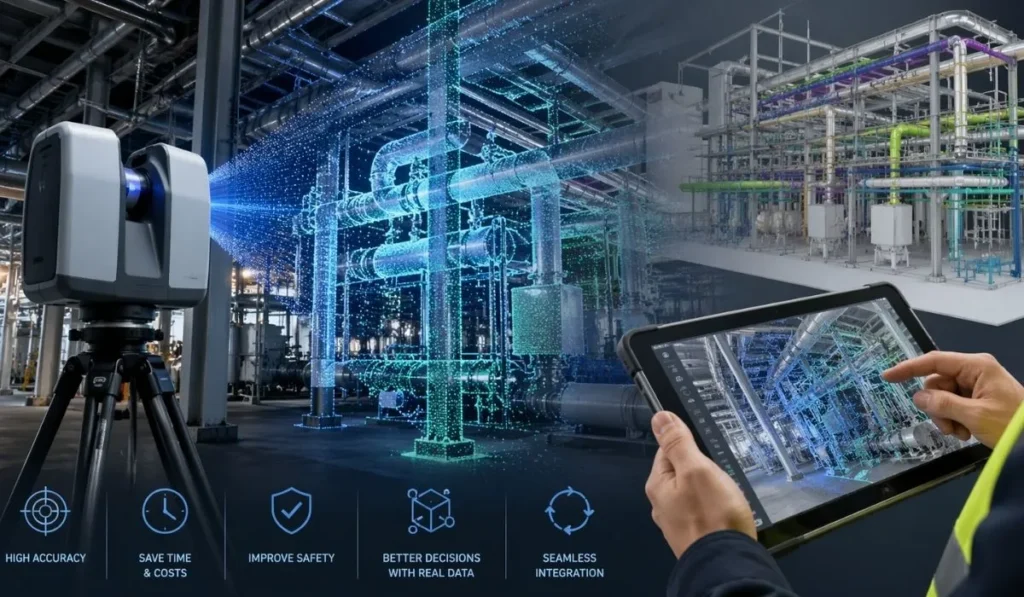
Modern engineering projects demand greater accuracy, faster delivery, and improved collaboration than ever before. As construction, infrastructure, and industrial developments
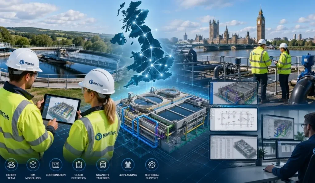
Across the UK, water and utility providers are facing increasing pressure to modernise aging infrastructure, improve operational efficiency, and meet
FAQs
Yes, BIMTek provides accurate as-built modelling services using laser scanning and point cloud technology. As-built models capture the current condition of buildings, industrial plants, or infrastructure with high precision. These models are essential for refurbishment projects, facility upgrades, maintenance planning, and asset management. BIMTek converts survey data into intelligent BIM models and engineering drawings that reflect real-world site conditions. Accurate as-built documentation helps project teams avoid unexpected clashes, improve planning accuracy, and reduce costly errors during construction or renovation. This service is particularly valuable for complex facilities where up-to-date information is critical for safe and efficient operations.
3D civil design modelling offers several advantages over traditional 2D drafting methods. It provides a realistic visual representation of the project, helping stakeholders better understand layouts, structures, and construction requirements before work begins. BIMTek uses advanced 3D modelling tools to improve design coordination, identify potential clashes, and optimize construction planning. These models also support accurate measurements, faster revisions, and improved communication among project teams. With enhanced visualization and data integration, 3D civil design modelling helps reduce project risks, minimize construction delays, and improve overall efficiency while supporting smarter decision-making throughout the project lifecycle.
3D laser scanning surveying is an advanced data capture method that uses LiDAR technology to collect highly accurate measurements of buildings, structures, machinery, and environments. The laser scanner rapidly captures millions of data points to create a detailed 3D point cloud model. This process allows surveyors and engineers to analyse spaces with exceptional precision while reducing time spent on site. Unlike traditional surveying methods, laser scanning is non-contact and minimally intrusive, making it ideal for operational facilities, confined spaces, and complex industrial environments. The collected data can then be used for BIM modelling, engineering design, clash detection, and project planning.
BIM significantly improves project efficiency by enabling teams to identify design conflicts and construction issues before work begins on-site. Through accurate 3D modelling and coordinated project data, BIM reduces costly rework, delays, and material waste. It also improves communication between project teams, ensuring everyone works from the same updated model. BIM supports better scheduling, quantity take-offs, and project planning, helping businesses manage budgets more effectively. By integrating digital workflows into construction processes, BIMTek helps clients achieve faster project delivery, improved operational efficiency, and long-term cost savings while maintaining high levels of accuracy and quality control.
BIMTek primarily uses Autodesk REVIT for advanced BIM modelling and Autodesk Inventor for highly detailed component design and engineering projects. These industry-leading software platforms allow BIMTek to create accurate 3D models, technical drawings, and coordinated project data efficiently. BIMTek also uses Enscape™ for realistic visualisations, animations, and interactive walkthroughs that improve stakeholder engagement and project understanding. Combined with laser scanning and point cloud technology, these tools help deliver precise digital models for engineering and construction projects. BIMTek continuously adopts the latest BIM technologies to provide innovative, accurate, and future-ready digital engineering solutions.
Building Information Modelling (BIM) significantly improves mechanical design projects by creating intelligent 3D models that enhance collaboration, accuracy, and project efficiency. BIM allows engineers, architects, and contractors to work within a coordinated digital environment, reducing clashes between mechanical, structural, and electrical systems. This approach improves visualization, simplifies modifications, and speeds up drawing production. BIM also supports accurate quantity take-offs, maintenance planning, and lifecycle management. By using BIM software such as Autodesk REVIT, mechanical design teams can streamline workflows, reduce project risks, and deliver better outcomes for both small and large-scale engineering projects across multiple industries.