SURVEYING & DATA CAPTURE
LASER SCANNING

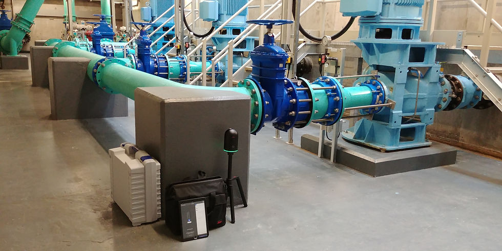
3D Laser Scan Surveying (LiDAR) provides a precise and comprehensive solution for data capture as well as significantly reducing the amount of time required on site. It is far less intrusive than traditional surveying methods and there is no requirement for physical contact with
machinery, equipment or structures. This is useful when working in operational and confined spaces and significantly reduces or eliminates down time.
The output of the survey when all scans are stitched together is 3d Point Cloud. This can be used to take high accuracy measurements and for 3d modelling.
Laser scanning technology continues to develop rapidly and BIMTek strive to keep up to date with the latest advances in order to provide the most effective surveying service.


3d Point Clouds produced from photogrammetry may result in slightly higher tolerances than Laser Scanning methods however the large open areas can be survey quickly and effectively.
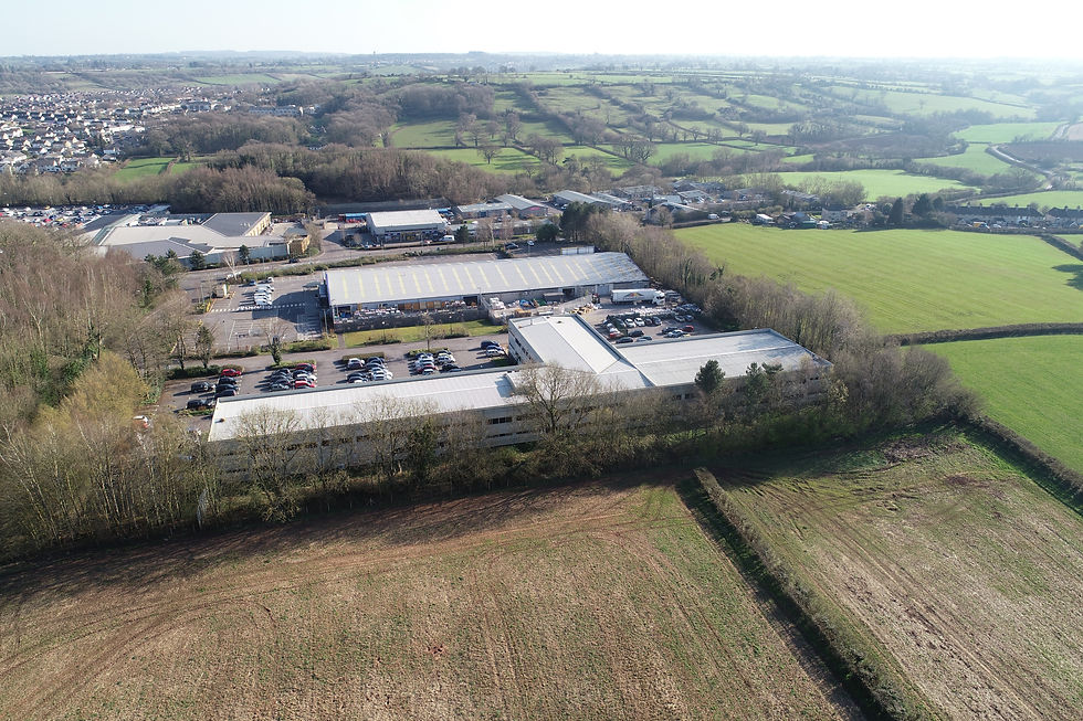
The recent rapid advancement of drone technology has allowed for a safe, fast and cost-effective method to survey at height. Drones are now capable of carrying a range of sensors, including high resolution cameras; LiDAR scanners; thermal imaging cameras; all allowing a range of services to be performed from the air.
BIMTek have a trained Remote Pilot and a Permission for Commercial Operation (PfCO) from the Civil Aviation Authority. With our inhouse drone we can carry out inspection surveys, photo surveys, aerial videography as well as photogrammetry to produce 3d Point clouds, 3d mesh models etc.


